


0.86 Acres Lot in Millsboro, DE!
Payment Options
Description
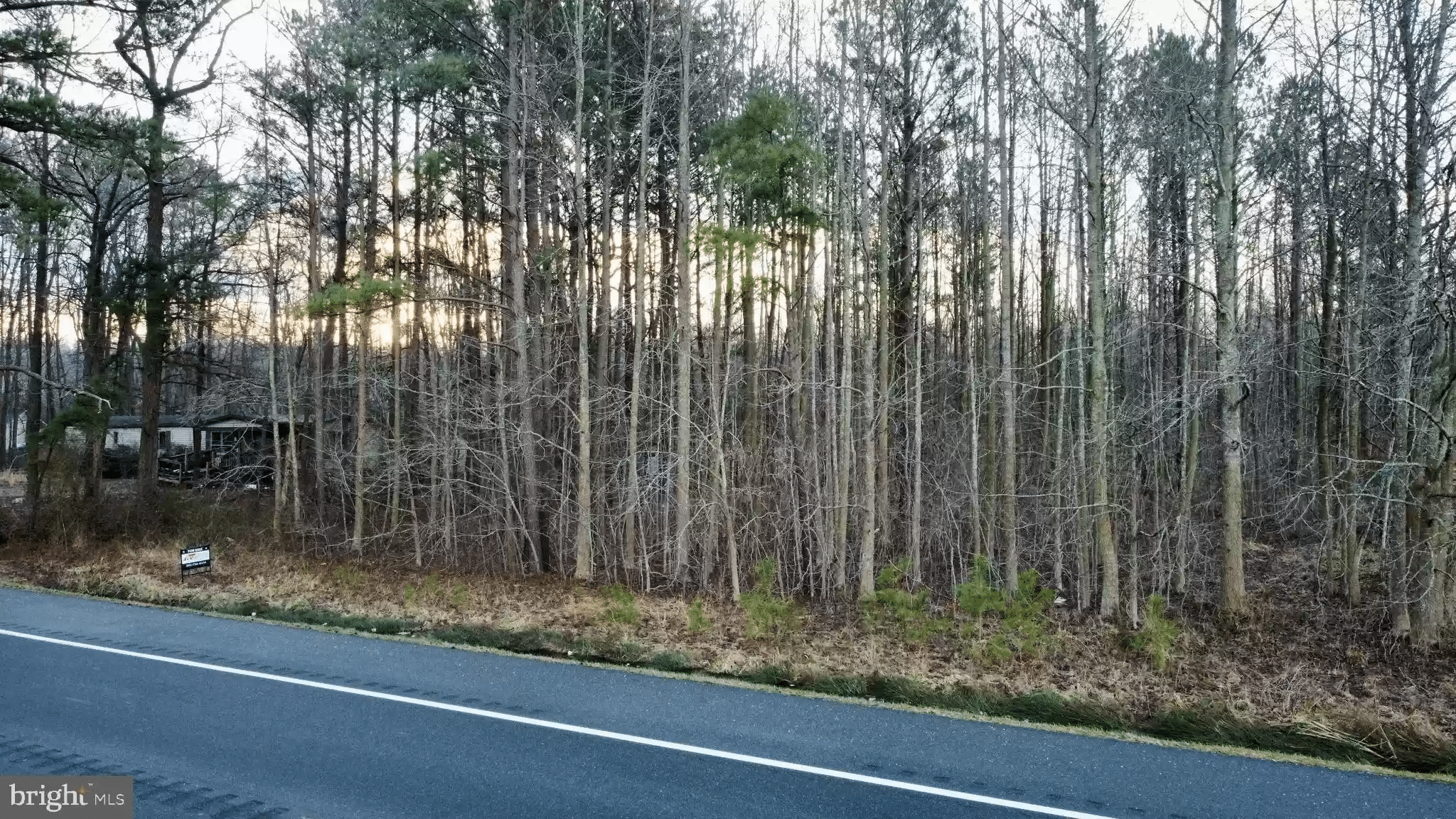
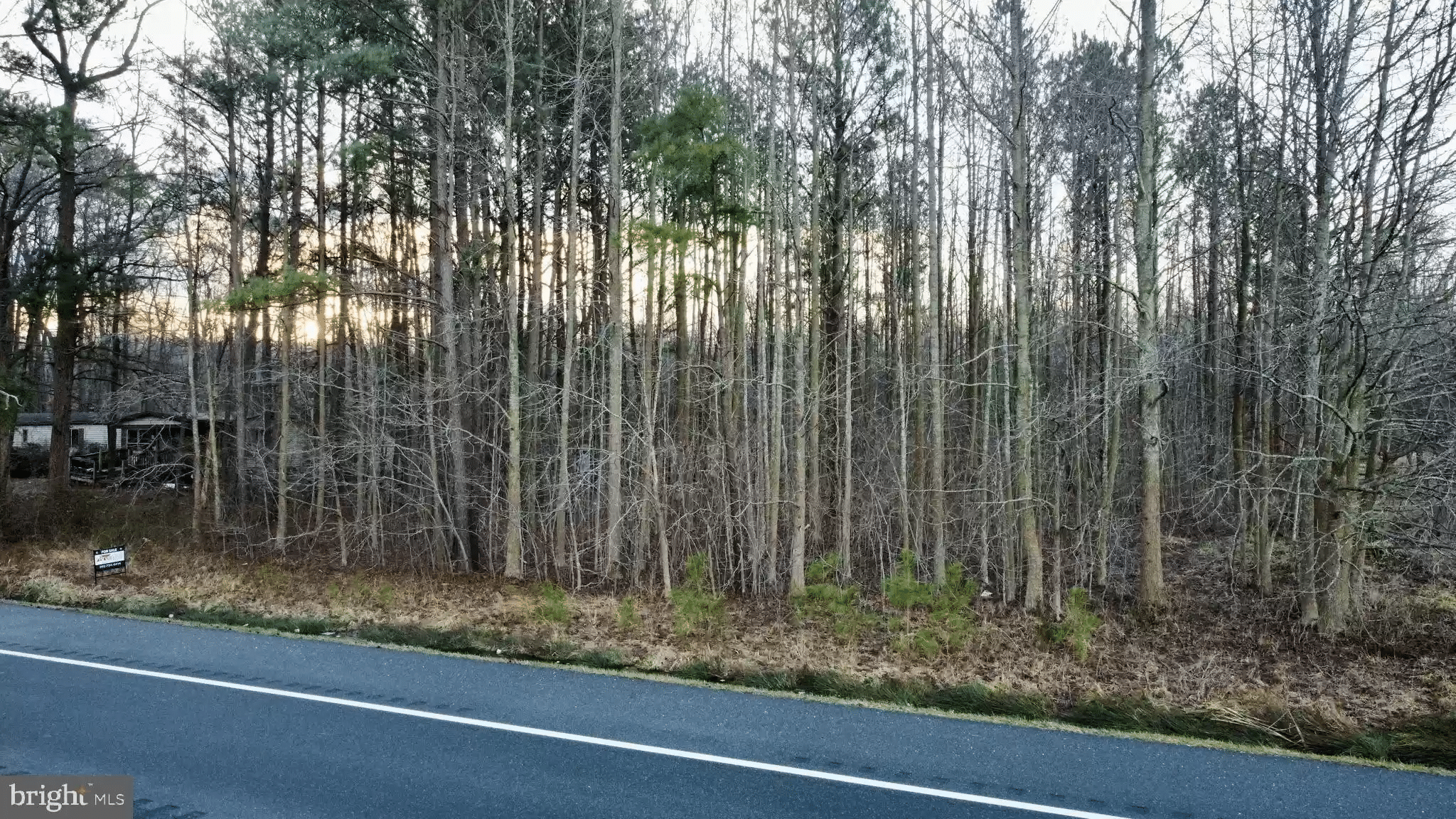
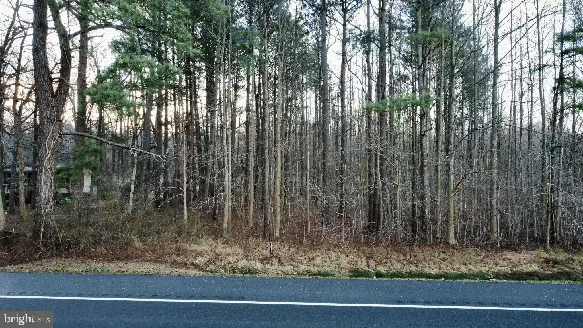
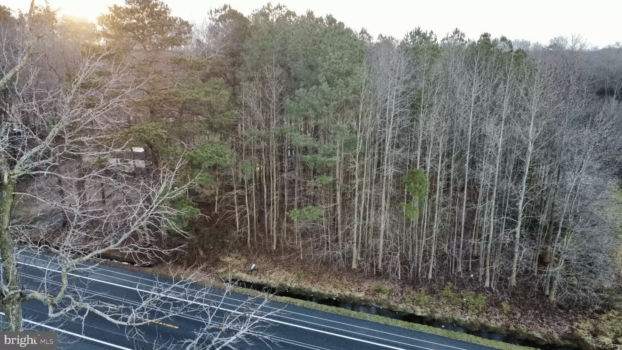
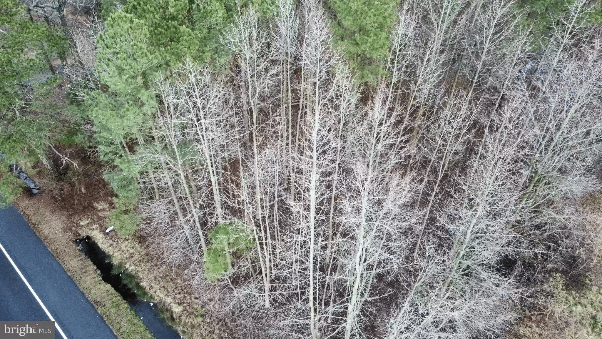
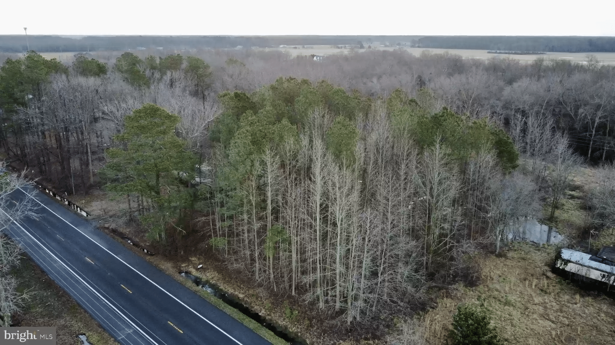
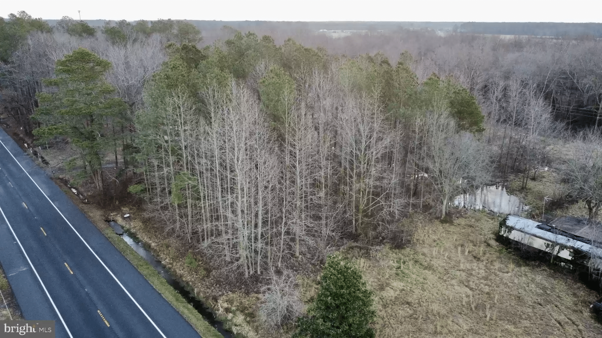
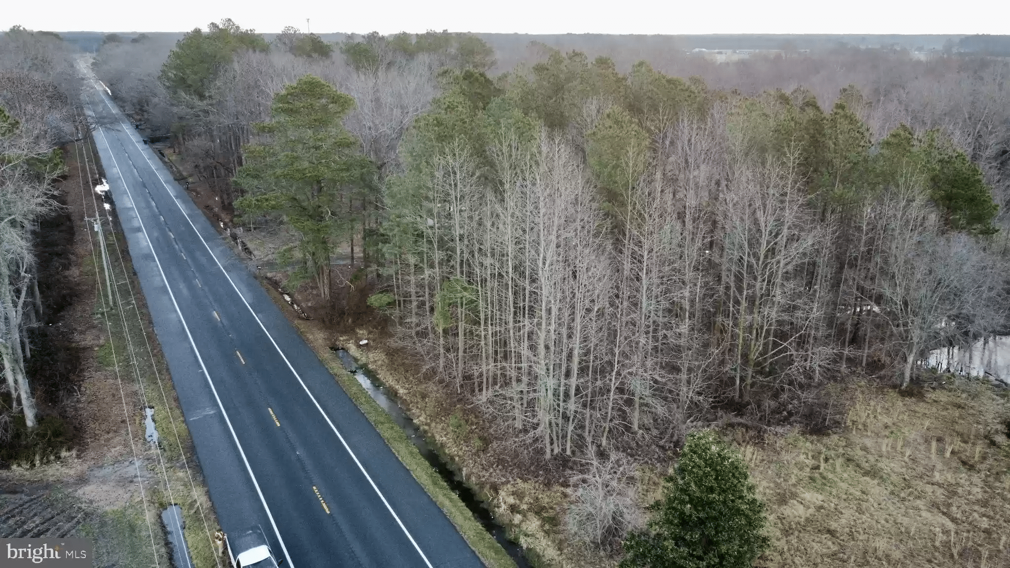
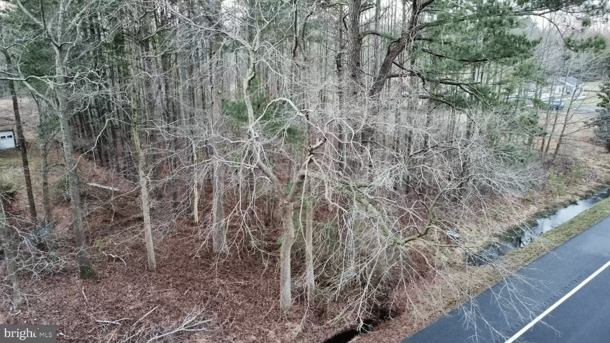
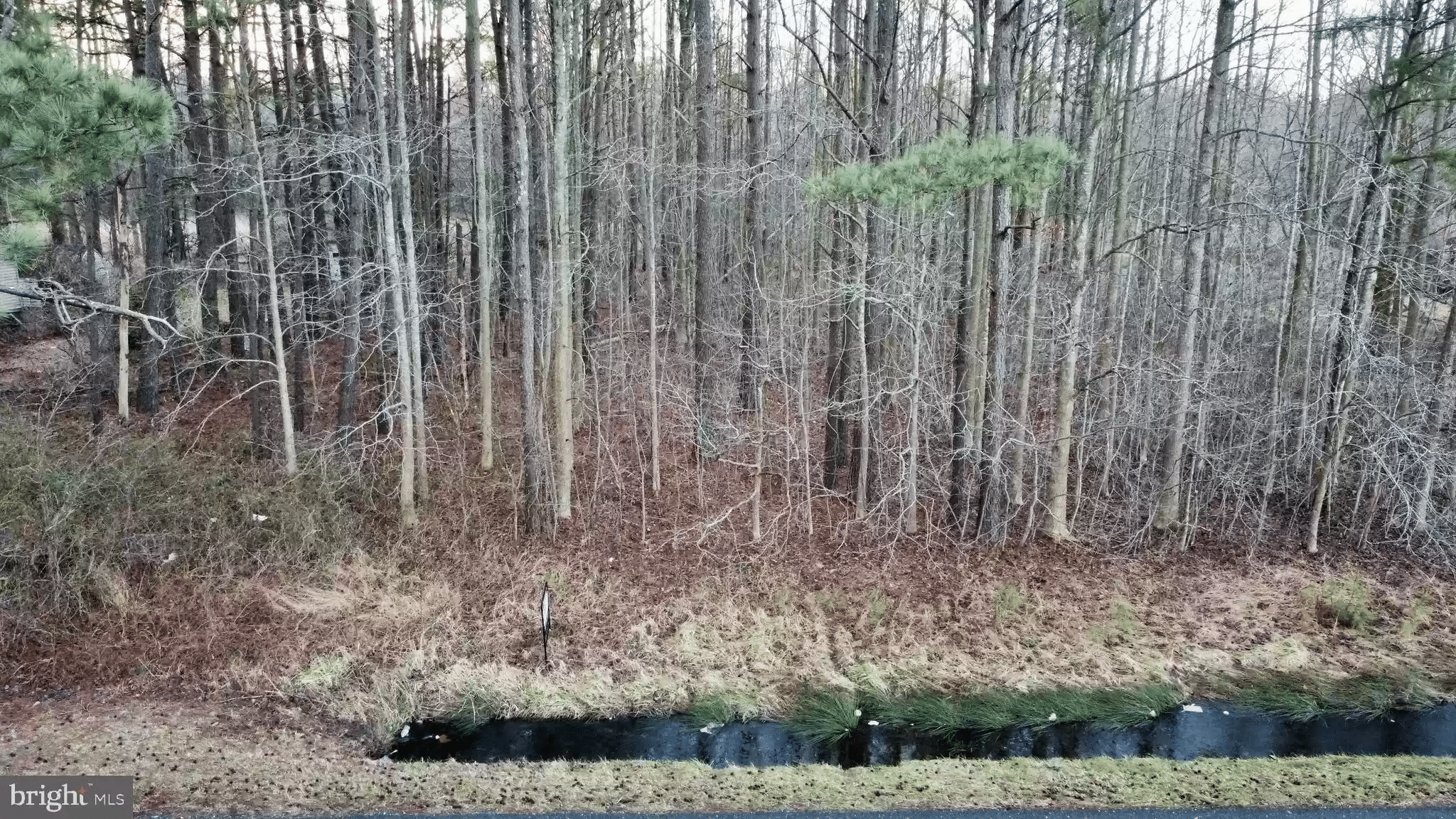
Beautiful lot just under an acre located southwest of Millsboro, just minutes to Delaware’s beaches! Lot size of 0.85+/- with NO HOA, NO BUILDER TIE-IN, and NO DEED RESTRICTIONS! Bring your RV, bring your building plans and enjoy Delaware’s amazing low taxes for your dream home! Site work has NOT been done; to be performed by buyer(s).
Property Information
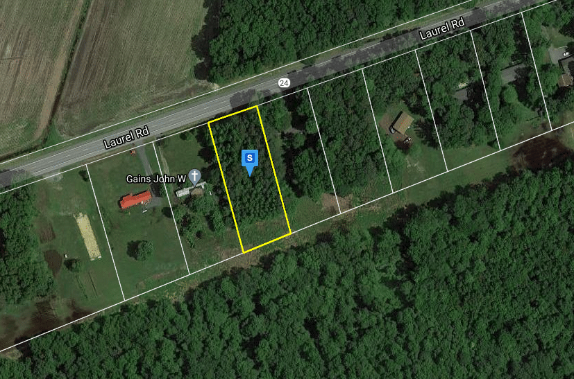
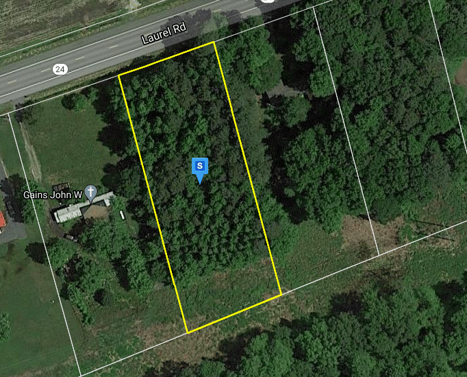
Address: Laurel Rd
County: Sussex
State: Delaware
Size: 0.86 Acres
APN: 133-24.00-1.16
Legal Description: S/RT 24 1550’W/RT 413B
Zoning: AR1
Roads: Paved Road
Terrain: Flat
Property Tax: $66.83
Approximate Distance to Nearby Attractions
28 min (19.2 miles) to Dogfish Head Craft Breweryn
30 min (20.7 miles) to Edward H. McCabe Nature Preserve
23 min (19.2 miles) to Baywood Greens Golf Course
30 min (20.7 miles) to Fenwick Island State Park
15 min (11.7 miles) to Go on an Adventure with Quest Kayak Guided Tours
Approximate Distance to Nearby Cities & Points of Interest
34 min (28.8 miles) to Milford, Delaware 19963, USA
1 hr 6 min (49.1 miles) to Easton, Maryland 21601, USA
Google Map Link: https://goo.gl/maps/wEoGtavFQenYjPLn9
GPS COORDINATES
Center of Lot GPS: 38.534513, -75.369508
GPS Corners of the Parcel:
NW: 38.534833, -75.369809
NE: 38.534935, -75.369442
SE: 38.534166, -75.369177
SW: 38.534051, -75.369542
Google Map Link for Corners of Property:
NW: https://goo.gl/maps/X3U2BTPXfUog3Z5F7
NE: https://goo.gl/maps/mektBdwxEfaoZYck6
SE: https://goo.gl/maps/M7dpQ6oexmybZwLb8
SW: https://goo.gl/maps/Mb1qb3UzWRzb1kdy8
Property Features
Parcel Size
0.86 Acres
State
Delaware
County
Sussex
Parcel Number
133-24.00-1.16
Address
MILLSBORO, DE, 19966
Legal Description
S/RT 24 1550’W/RT 413B
Nearby Attractions/City
Easton, MD
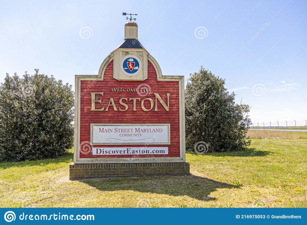
Easton is an incorporated town in and the county seat of Talbot County, Maryland, United States.
The town of Easton received its official beginning from an Act of the Assembly of the Province of Maryland dated November 4, 1710. The act was entitled, “An Act for the Building of a Court House for Talbot County, at Armstrong’s Old Field near Pitt’s Bridge”. Pitt’s Bridge crossed a stream forming the headwaters of the Tred Avon or Third Haven River. It was located at a point where North Washington Street crosses this stream, now enclosed in culverts, north of the Talbottown Shopping Center, and passes under the Electric Plant property.