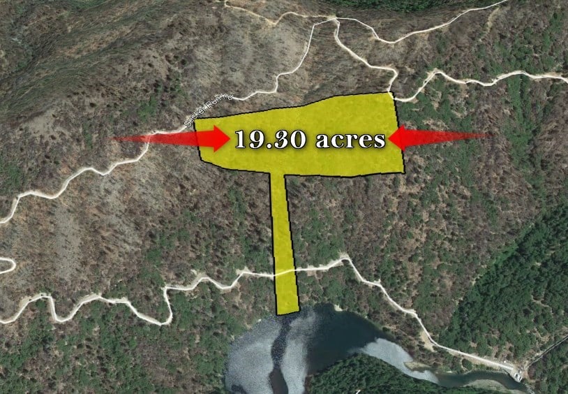


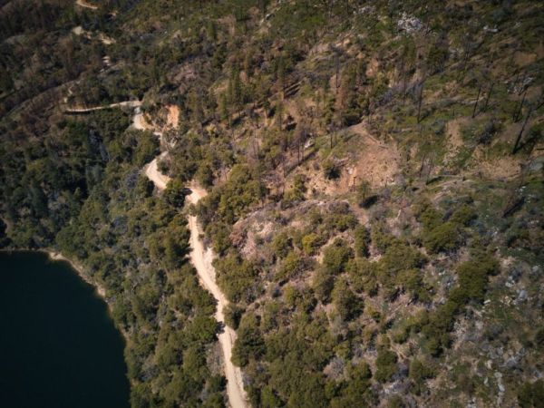

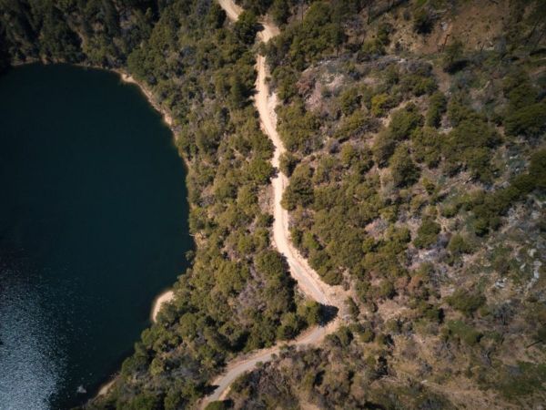
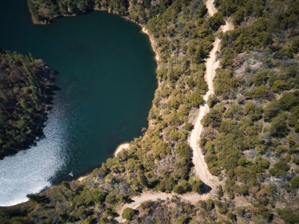
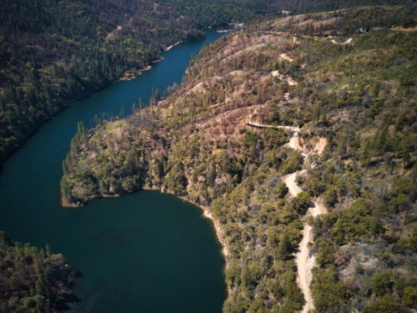

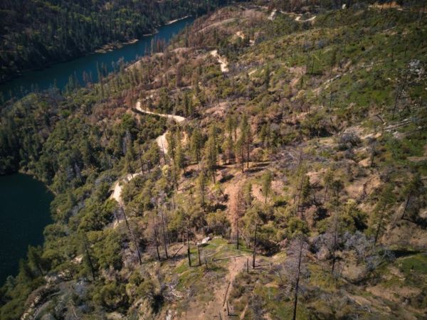
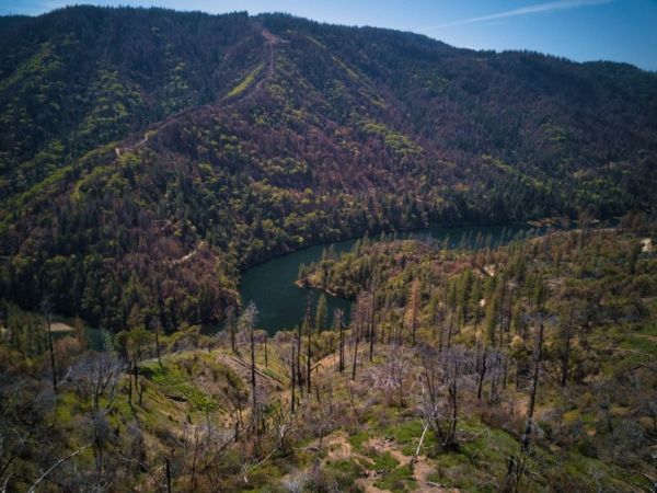
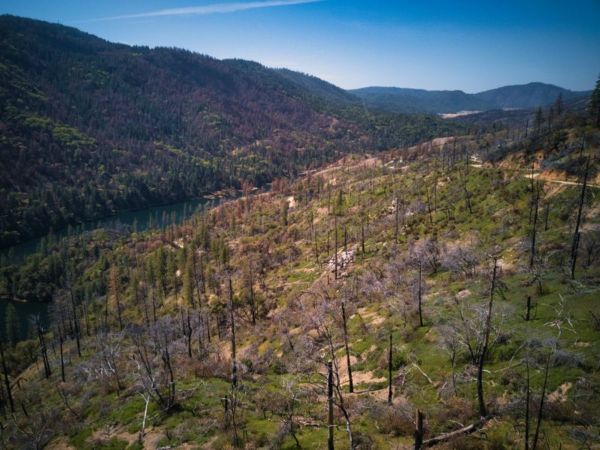
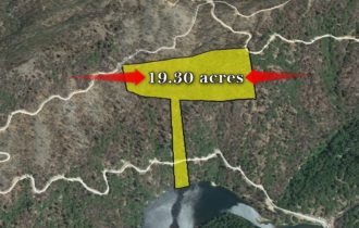
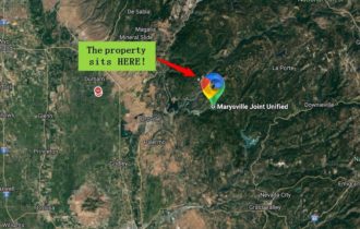


A 19.3 acres Property in Feather Falls, CA!
Payment Options
Payment Note(s)
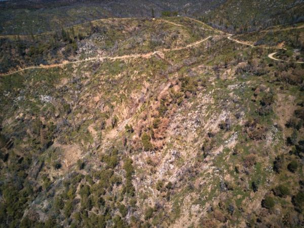
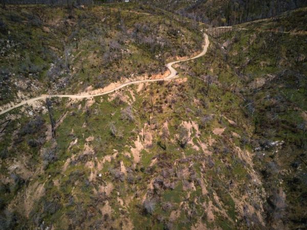
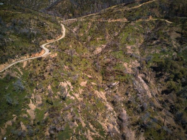
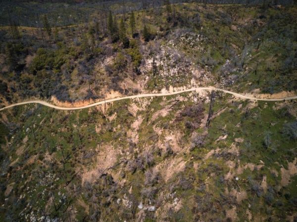
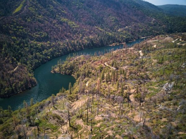
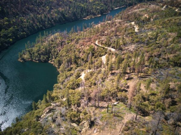
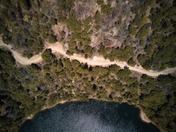
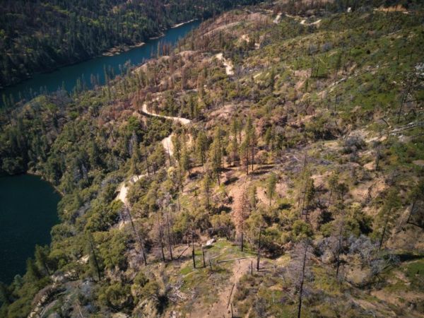
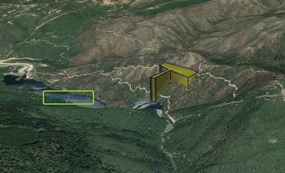
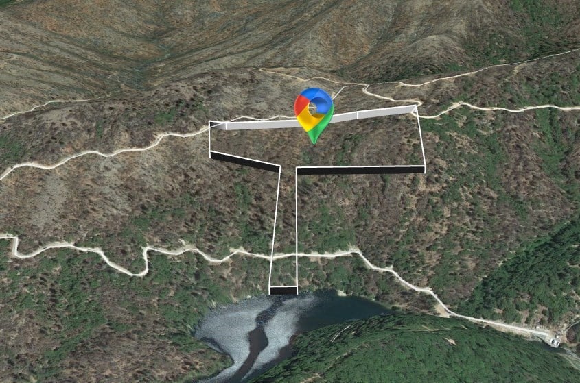
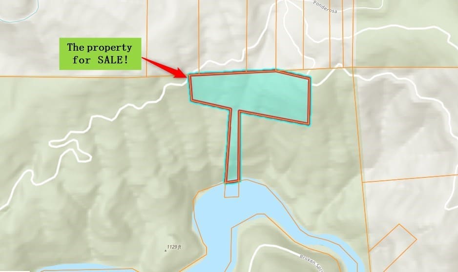
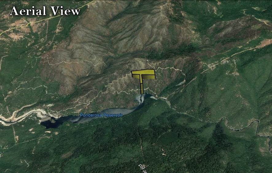
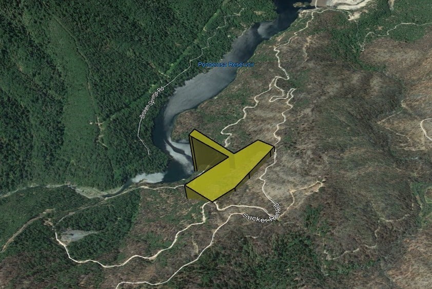
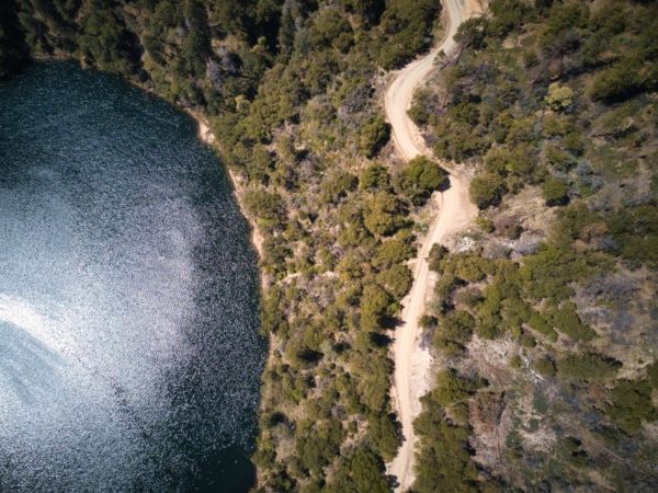
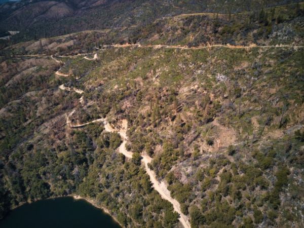
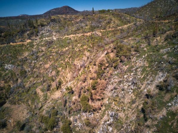
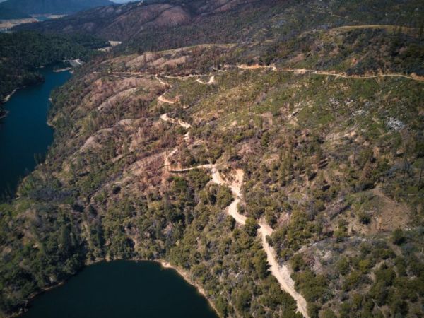
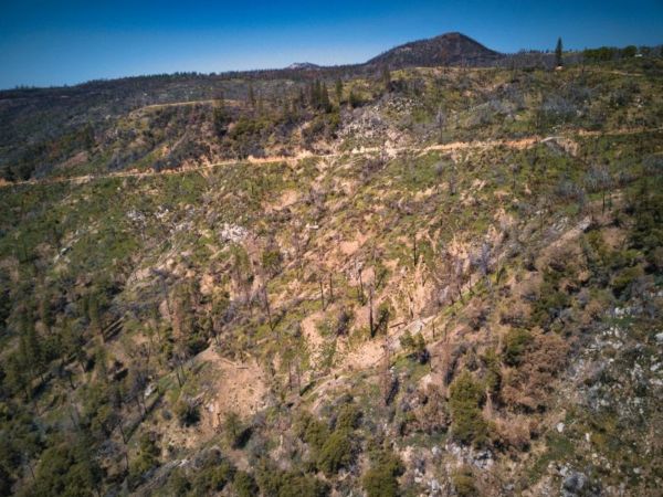
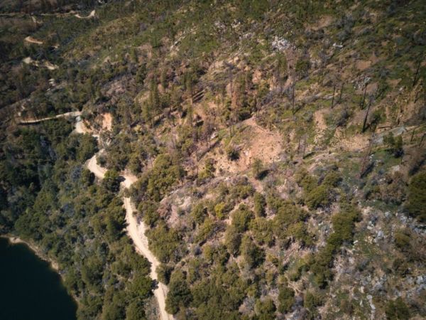
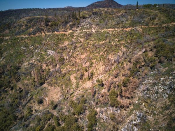
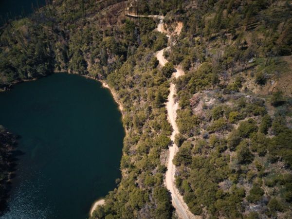
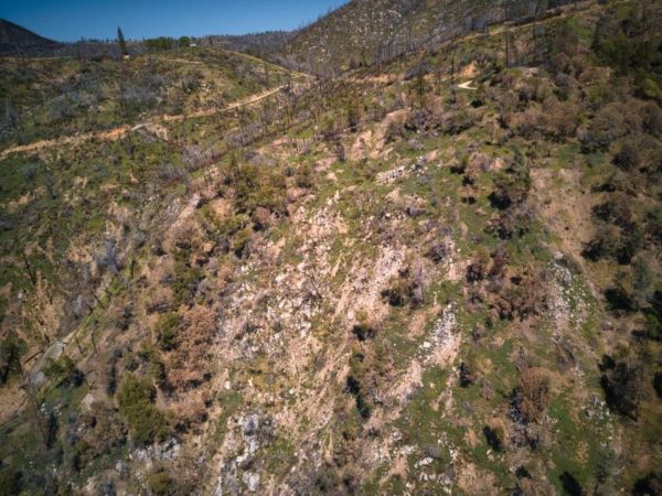
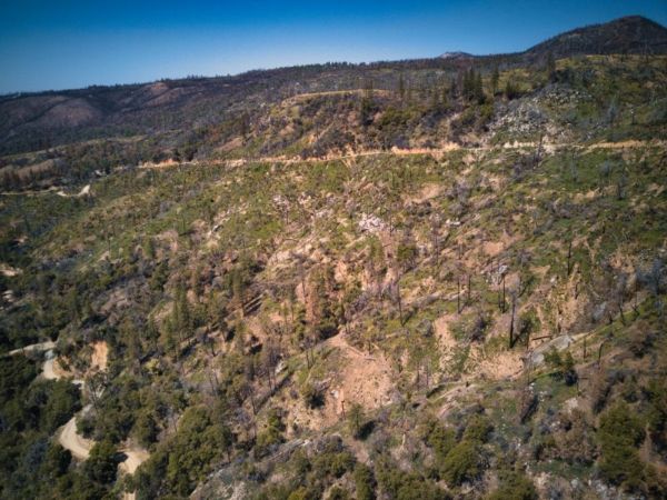
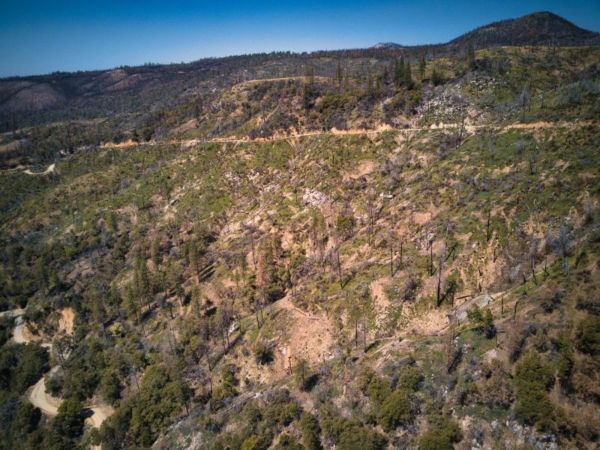
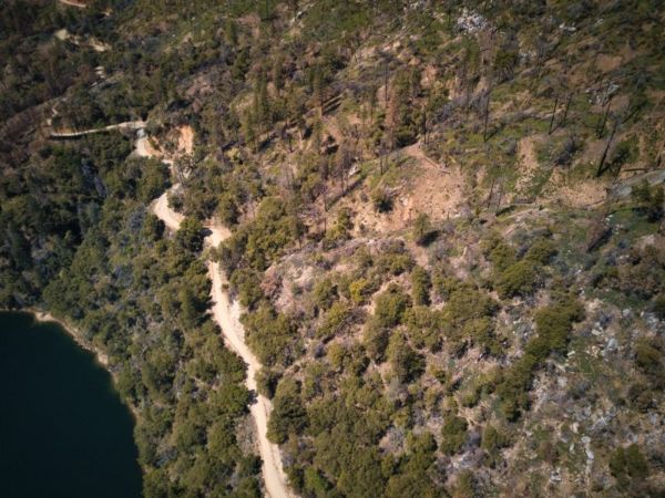
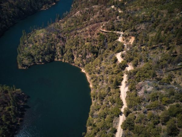
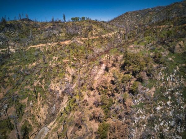
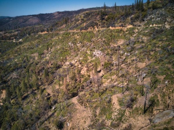
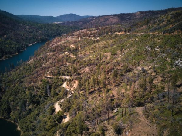
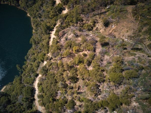
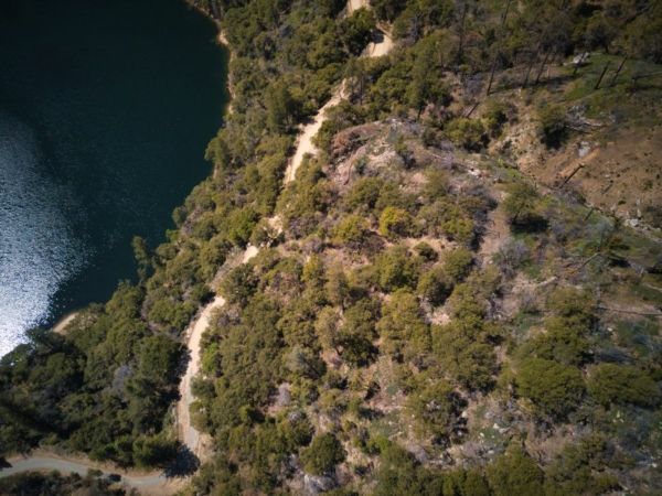
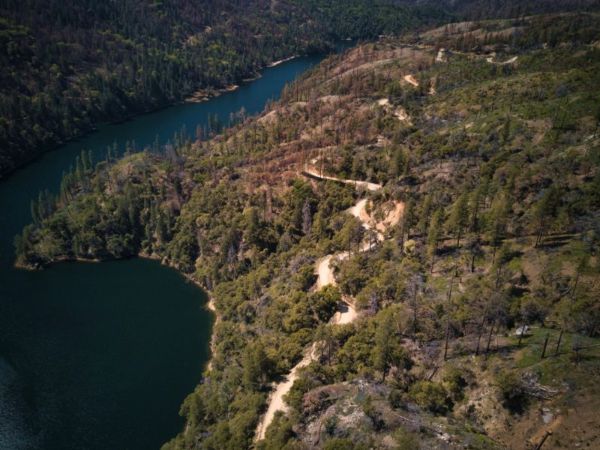
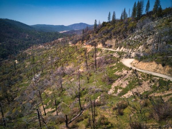
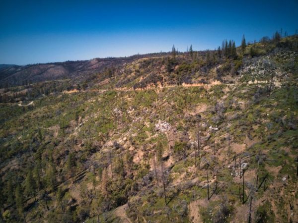
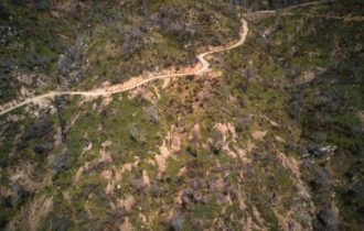
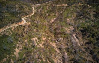
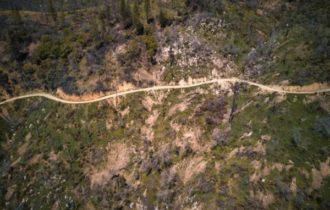
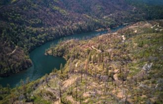
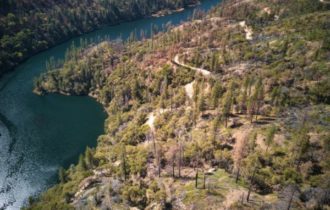
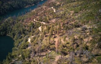
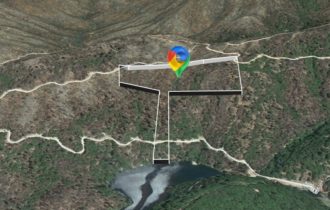
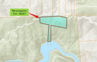
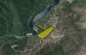
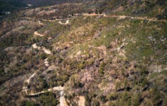
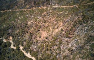
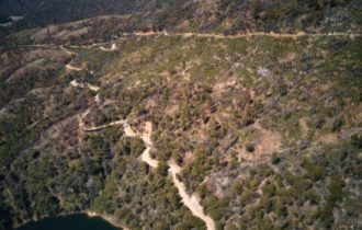
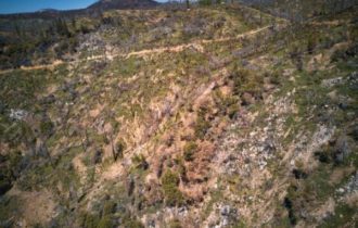
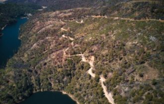
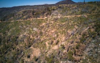
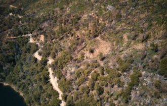
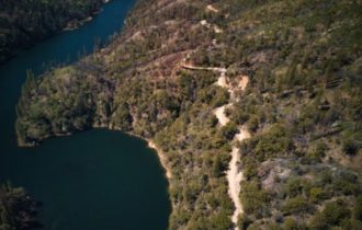
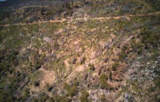
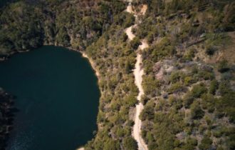
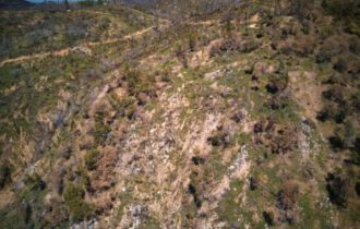
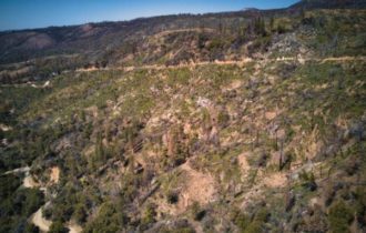
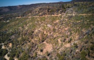
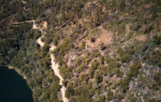
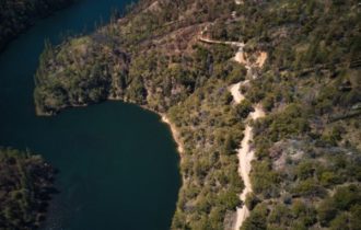
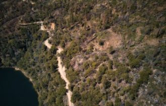
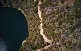
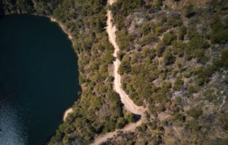
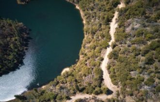
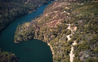
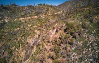
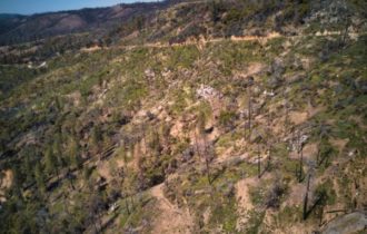
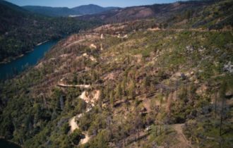
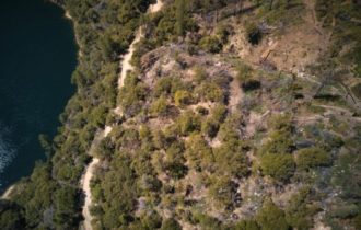
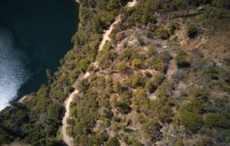
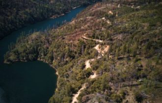
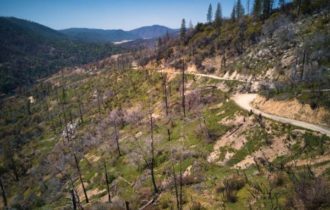
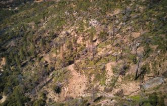
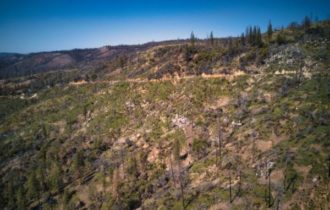
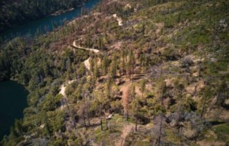
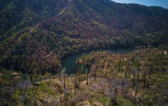
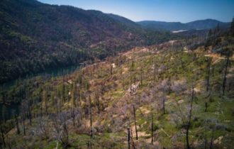
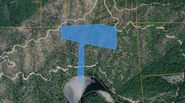
19.3 Acres in Feather Falls overlooking lake Ponderosa.
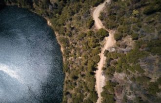
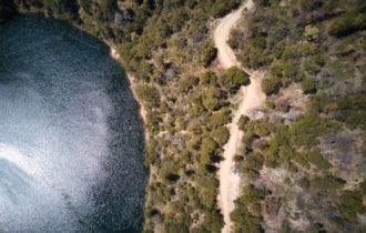
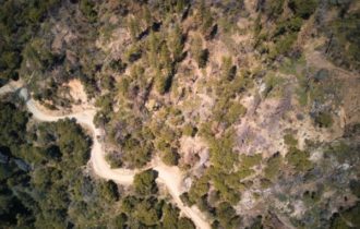
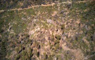
If you are a “nature lover” is someone who thrives on spending time in the outdoors and observing wild animals and plants, If you want Peace and Quiet, Unplug and enjoy the simplicity of nature. This 19.3 Acres Property is perfect for you. This piece of land is also great for camping with family and friends where you can strengthen bonds between family members. Other benefits of camping is you can get away from all the distractions of work, technology and even your neighbors, camping is the best bonding experience that you can ever have with your family. There is no competing over the shows on television or the apps on mobile phones because you only have yourselves and nature to spend time with. Enjoy the lovely view of this property.
. … Nature teaches us how to adapt to new conditions, reminds us that the earth is always changing, and shows us the beauty in simplicity.
Don’t miss the opportunity of having this property…CALL US NOW!!!
Property Details:
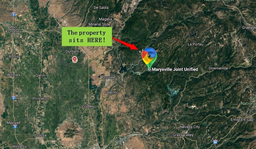
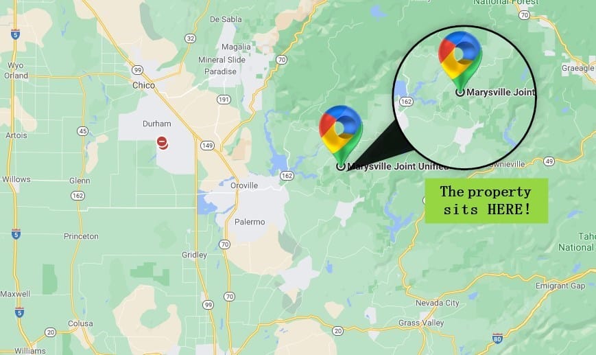
County: Butte
State: California
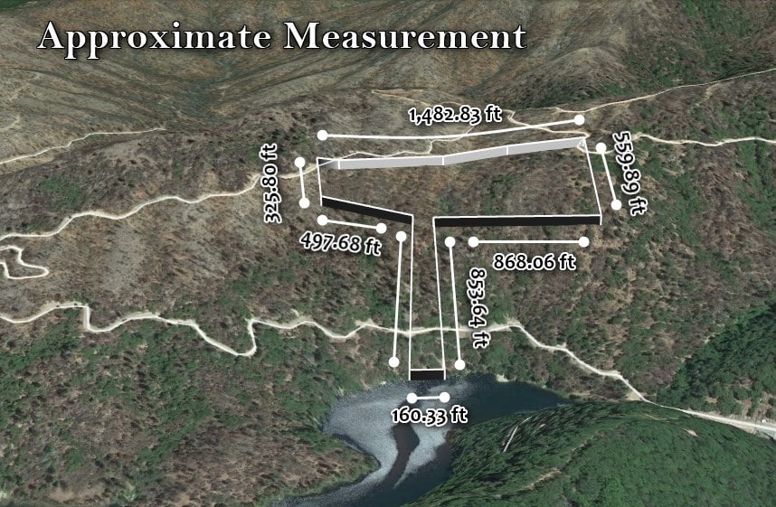
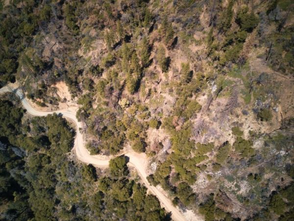
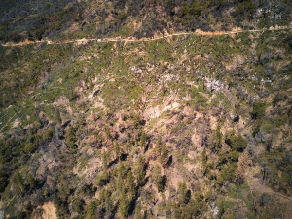
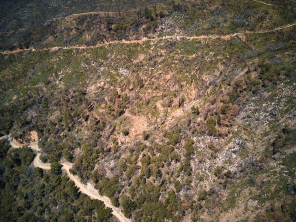
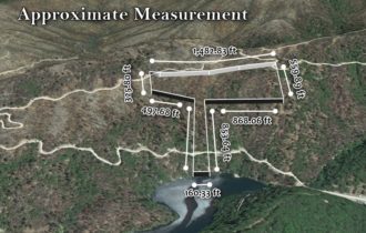
Size: 19.3 acres
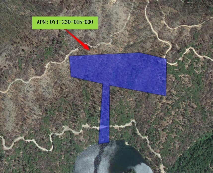
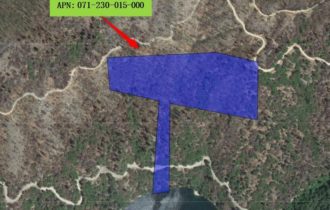
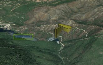
APN: 071-230-015-000
Legal Description: FIELDS RIDGE RD
General Elevation: 1546.33 ft.
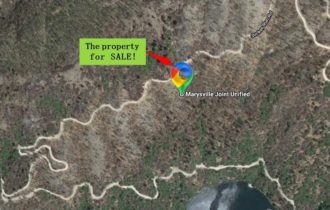
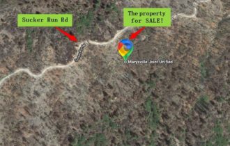
Property Address: 0 Fields Ridge Rd, Feather Falls, CA 95940
Zoning: FR40
Power: In the area
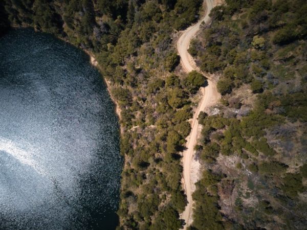
Water: By Alternative System
Sewer: By Alternative System
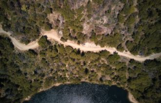
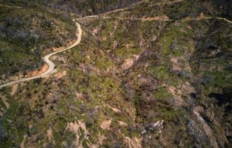
Roads: Paved
Terrain: Flat
Property Tax: $279
Time Limit to Build: None
Nearby Attractions:
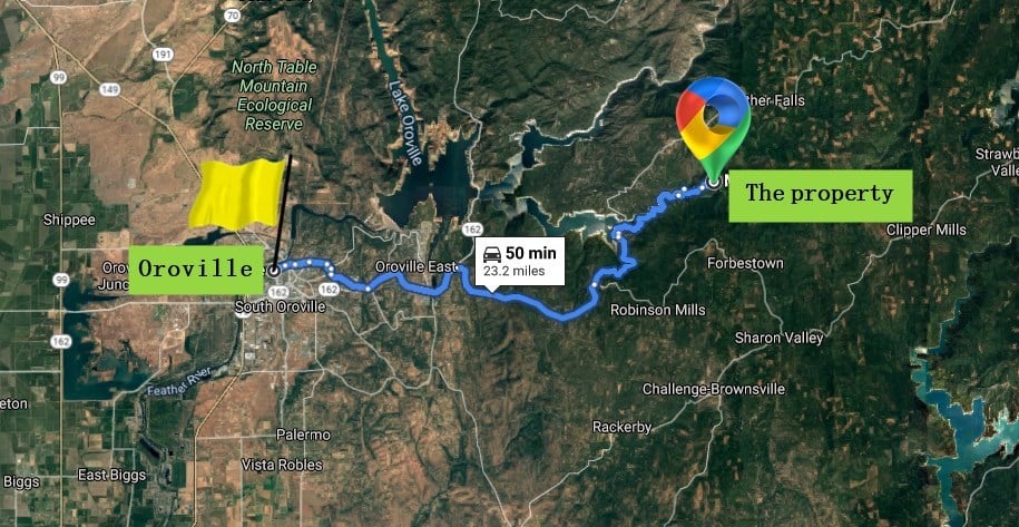
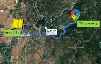
38 min (9.5 miles) to Feather Falls Trailhead, Oroville
46 min (17.8 miles) to 101 Things To Do In Butte County, 711 Mt Ida Rd, Oroville
1 hr (27.1 miles) to Table Mountain Golf Course, 2700 Oro Dam Blvd W, Oroville
55 min (23.6 miles) to Feather River Ranger District, 875 Mitchell Ave, Oroville
55 min (23.6 miles) to Feather River Ranger District, 875 Mitchell Ave, Oroville
59 min (25.9 miles) to River Reflections RV Resort & Campground, 4360 Pacific Heights Rd, Oroville
56 min (23.5 miles) to Bolt’s Antique Tool Museum, 1650 Broderick St, Oroville
GPS Coordinates (approximate):
GPS: 39.55597907746372, -121.28550767293775
GPS Coordinates:
39.553050160788,-121.283460729307 ;39.5532160006538,-121.283458836526 ;39.5554095082917,-121.283434591384 ;39.5549726286481,-121.280394503654 ;39.5565172398198,-121.280356359811 ;39.5567778386868,-121.281833187662 ;39.5567294701298,-121.283132158709 ;39.5566565183101,-121.285208641691 ;39.5566402850766,-121.285634600179 ;39.5557739094525,-121.285537361844 ;39.555478321007,-121.283823518349 ;39.5530804246316,-121.284039744125 ;39.5529864173014,-121.28404816761 ;39.553050160788,-121.283460729307
Go Visit the Property
You are welcome to visit the property at your convenience while it is available.
Property Information
Parcel Size
19.3
State
California
County
Butte
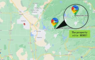
Nearest Cities
Chico
Parcel Number
071-230-015-000
Address
0 Fields Ridge Rd, Feather Falls, CA 95940
Legal Description
FIELDS RIDGE RD
Features
Acres
19.3
County
Butte
Access
Dirt Road
Coordinates
39.55597907746372, -121.28550767293775
Zoning
FR40
Elevation
1546.33 ft.
Nearby Attractions/City
Lake Oroville State Rec Area
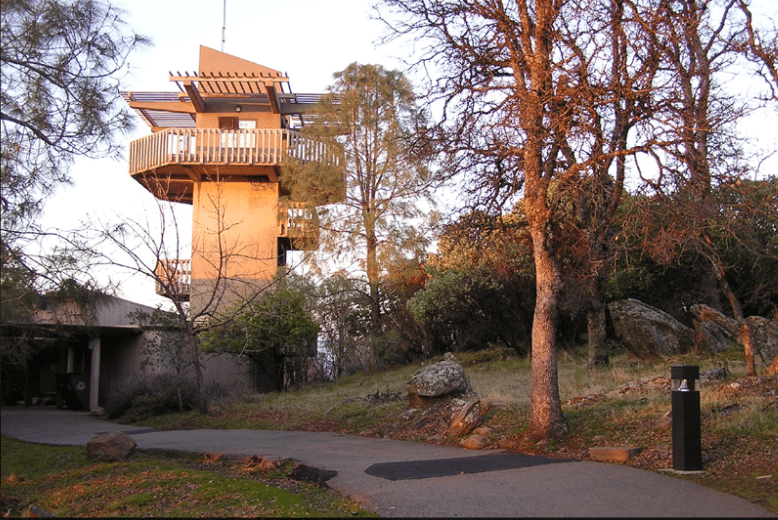
Lake Oroville State Recreation Area (LOSRA) is a state park unit of California, United States, surrounding Lake Oroville, a reservoir on the Feather River. It is located in Butte County outside Oroville, California. The 29,447-acre (11,917 ha) park was established in 1967. The recreation area “includes Lake Oroville and the surrounding lands and facilities within the project area as well as the land and waters in and around the Diversion Pool and Thermalito Forebay, downstream of Oroville Dam.”
The park and lake support outdoor recreation such as camping, picnicking, horseback riding, hiking, sail and power-boating, water-skiing, fishing, swimming, boat-in camping, floating campsites, and horse camping. There is a visitor center with interpretive exhibits and a 47-foot (14 m) observation tower overlooking the lake and dam.
Nearby attractions are Feather Falls and the Feather River Fish Hatchery.
Hidden train tunnels – When the water level gets low you can see train tunnels that are normally submerged. One tunnel is found in the Berry Creek cove when the water level gets down to about 720 ft level.
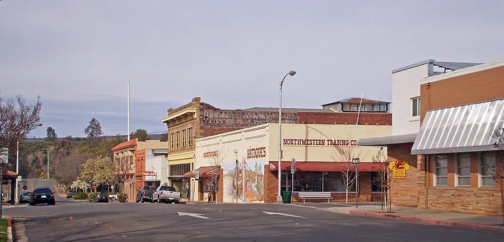
Oroville (Oro, Spanish for “Gold” and Ville, French for “town”) is the county seat of Butte County, California, United States. Oroville is situated at the base of the foothills on the banks of the Feather River where it flows out of the Sierra Nevada onto the flat floor of the Sacramento Valley. It was established as the home base of navigation on the Feather River to supply gold miners during the California Gold Rush.
Oroville is considered the gateway to Lake Oroville and Feather River recreational areas. The Berry Creek Rancheria of Maidu Indians of California is headquartered in Oroville.
PROPERTY MAP